
MDI Housing Opportunities Map - On the road!
In mid-July, Susanne had the opportunity to present the MDI Housing Opportunities Map at the 2026 ESRI UC, an annual pilgrimage of 15,000+ map makers and data analysts to San Diego for a week of learning and sharing all things GIS. She was excited to present alongside folks from The Lincoln Institute of Land Policy and the Center for Geospatial Solutions (CGS), who are managing Who Owns America (WHOA), a fascinating analysis of the state of corporate ownership of residential property in the United States.
At Susanne’s presentation, entitled “Leverage GIS for Rural Communities: Housing Solutions for MDI, Maine”, she spoke to an audience of people that were generally unfamiliar with Maine, which made for an interesting discussion. They were surprised to learn that Maine is one of three states in the US that prohibits Local Option Taxes (LOT), particularly when LOT have a proven track record of helping fund public amenities and infrastructure projects, such as affordable housing.
The presentation detailed how the MDI Housing Opportunities Map was made and some of the initial ideas for how it could guide discussion around policy changes, locations for new homes, or other ways to identify opportunities for year-round homes on MDI.
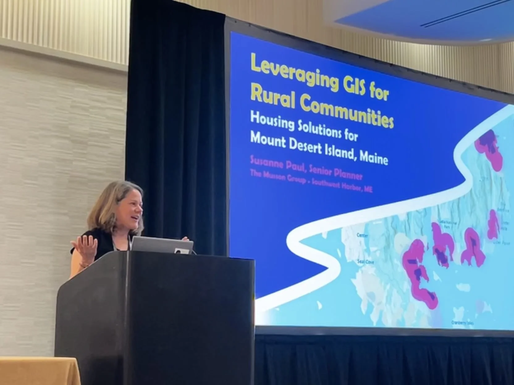
2026 ESRI UC