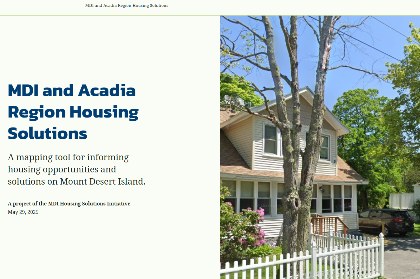
MDI & Acadia Region Housing Opportunities Map
As part of our work under the Maine Department of Economic and Community Development (DECD) Housing Opportunities Program grant, The Musson Group recently released the MDI & Acadia Region Housing Opportunities map, which has two parts: 1) A StoryMap that provides background and context information, and 2) An interactive web map that displays the MDI & Acadia Region Housing Opportunities area along with other relevant planning and environmental constraints data. The map is currently being expanded to include off-island League of Towns communities Trenton, Lamoine, and Ellsworth.
The goal is to help municipal governments visualize, simplify, incentivize, and streamline the creation of homes in areas where housing is most suitable. This map can help protect existing open spaces, forested landscape, and reinforce the character and functioning of our villages as year-round communities.
Using five criteria, the map identifies “Housing Opportunities Areas" that indicates areas where additional housing is generally most appropriate according to municipal land use policy decisions, with the darkest areas on the map being higher priority areas that best meet the analysis criteria and should be prioritized for housing opportunities.
Criteria used in this analysis include:
Proximity to public sewer infrastructure
Proximity to public water infrastructure
Village-type land use patters (clusters of smaller lots sizes)
Areas designated as "Growth Areas" in municipal comprehensive plans
Higher density residential zoning
Click here to visit the StoryMap and learn more about this project.


